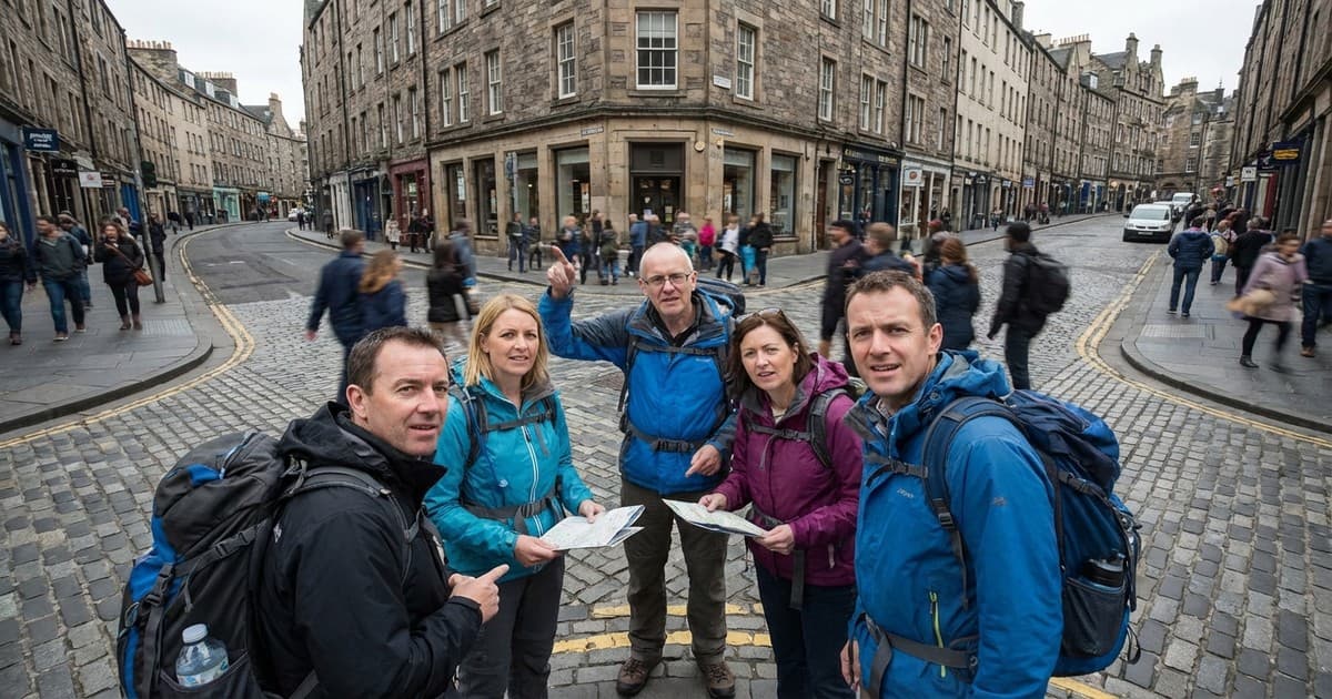
Stepping out of a central station in a foreign city often triggers a sudden loss of direction. Even with digital maps, certain urban environments feel inherently illegible to the human brain. This disorientation is not a personal failing; it is primarily caused by a lack of urban legibility and the complex history of how specific cities evolved. Each turn and intersection carries the weight of past decisions.
While some regions follow strict geometric logic, others are the product of medieval paths, topographical hurdles, or fragmented planning. Understanding why we get lost requires looking beyond the map and into the history of urban psychology and architectural evolution. This explains why some modern travelers feel stranded even in the middle of a bustling metropolis, struggling to find their bearings without a screen.
The battle between organic growth and planning
Cities like London or Rome were not designed in a single sitting. Instead, they grew organically, following the natural contours of rivers or ancient livestock paths. These "organic" cities lack the right angles that our brains use to simplify navigation. When streets curve unexpectedly or terminate in dead ends, our internal mental maps struggle to create a reliable coordinate system. This results in a persistent feeling of being turned around.
The importance of urban legibility
Urban theorist Kevin Lynch famously identified "legibility" as the ease with which people can recognize a city’s parts. This concept relies on five elements: paths, edges, districts, nodes, and landmarks. If a city lacks distinct districts or visible landmarks, visitors lose their visual anchors. In a grid-heavy city like New York, numbers provide a sequence. In a city where every street looks identical, the brain cannot differentiate between blocks.
Topography and the disruption of sightlines
Geography plays a significant role in how we perceive space. Cities built on hills, such as Lisbon or San Francisco, often disrupt natural sightlines. When you cannot see the horizon or a distant landmark, your sense of scale and direction becomes distorted. Furthermore, steep elevation changes often force streets to switchback or break into stairs. These physical interruptions prevent the brain from maintaining a clear vector of movement.
Modern sprawl and the loss of center
In the late 20th century, many cities transitioned into car-centric sprawl, prioritizing highway efficiency over pedestrian intuition. This shift often stripped cities of their traditional hearts or town squares. Without a clear "center," visitors find it difficult to orient themselves relative to a known point. Modern residential designs often use "lollipops and loops"—curving cul-de-sacs that intentionally discourage through-traffic.
Navigating a confusing city is a lesson in history and human psychology. While modern technology offers a digital crutch, it often masks why certain environments feel hostile to our sense of direction. True urban legibility comes from a balance of clear landmarks, logical street hierarchies, and visible edges. Designing for humans means acknowledging our need for visual rhythm to ensure a city transitions from a labyrinth into a home.