When asked to name the country with the most islands, many travelers naturally look toward the sprawling archipelagos of Southeast Asia. Indonesia and the Philippines, with their thousands of tropical gems, are the most frequent guesses for a top ranking. However, modern geographic data reveals a far more northern reality that catches most people off guard. The actual leader is not found in the Pacific but in the chilly reaches of Northern Europe.
This discrepancy between perception and statistical reality highlights how we define territory. While the massive islands of the equator dominate our maps, they cannot compete with the sheer volume of landmasses scattered across Nordic coasts. By examining the true global rankings, we see a fascinating interplay between geological history and the specific ways that different nations choose to inventory their land today.
The official global ranking
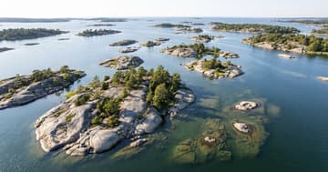
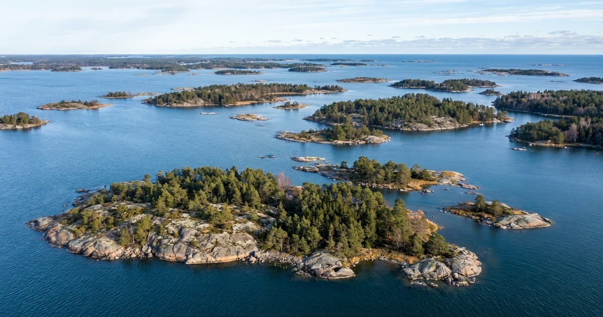
According to official government data, Sweden is the country with the most islands in the world, boasting a staggering count of more than 267,000 distinct landmasses. While the majority of these are uninhabited and tiny, they technically meet the geographical criteria. This vast number dwarfs the totals of more famous tropical destinations, fundamentally changing how we perceive global geography and the way nations inventory their natural borders.
Why northern geography dominates the count
To understand how Sweden reached this figure, one must look at the unique geological history of the Baltic Sea. During the last Ice Age, massive glaciers weighed down the Scandinavian Peninsula. As these ice sheets melted, the land began to rise in a process known as post-glacial rebound. This slow upward shift continues today, constantly pushing new patches of land above the water’s surface and expanding the nation’s count.
The definition of an island also plays a critical role in these rankings. Swedish authorities categorize an island as any piece of land at least 25 square meters in size that is surrounded by water. Because Sweden has a deeply indented coastline and thousands of interior lakes, the opportunities for such formations are nearly endless. This liberal definition contrasts with nations that only count inhabited or named territories.
Comparing the giants of the sea
For comparison, Norway follows closely behind Sweden with nearly 240,000 islands of its own. In contrast, Indonesia, which many assume would lead the list, officially recognizes around 17,500 islands. While Indonesia’s islands are significantly larger and support much higher populations, the sheer volume of Scandinavian outcroppings remains unmatched. The difference lies in geological density rather than total land area or habitable space.
A matter of perspective
Ultimately, the global leaderboard for islands serves as a reminder that geography is as much about definitions as it is about physical terrain. While the tropical archipelagos of the equator define our vacation dreams, the glacial legacies of the north define the statistical records. Understanding why Sweden holds this title offers a glimpse into how our planet continues to change and how nations measure their territory in the modern era.