Sweden officially holds the title for the nation with the highest number of islands, reporting a staggering 267,570 individual landmasses within its borders. While many imagine tropical archipelagos like Indonesia or the Philippines leading this list, the reality of global geography favors the jagged coastlines of Northern Europe. Identifying the countries with the most islands requires looking past the tropics to the northern reaches of the globe.
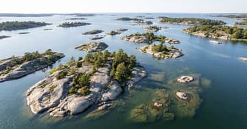
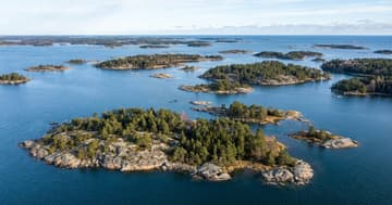
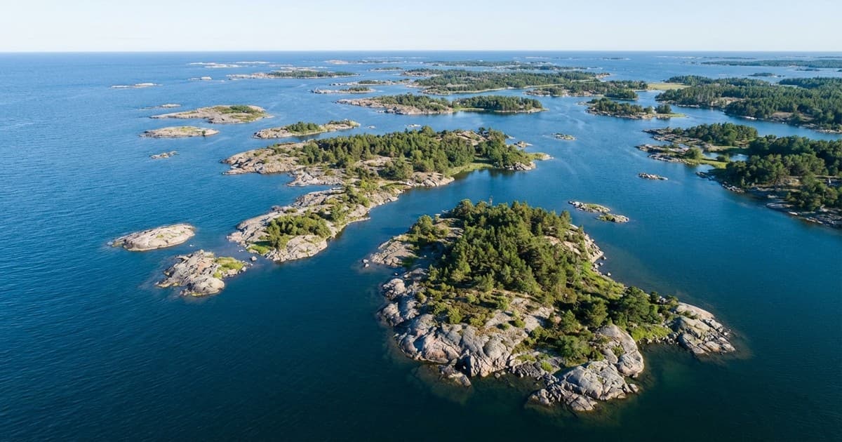
The high counts in Sweden and Norway, which reports 239,057 islands, are the result of unique geological histories. Retreating glaciers from the last ice age left behind a complex landscape of skerries and islets. These tiny landmasses are often no more than rocky outcrops, yet they are officially recognized by national authorities as part of the sovereign territory, significantly boosting the Sweden island count over time.
The challenge of archipelago definitions
Defining what constitutes an island is where the data becomes complicated. There is no universal international standard that dictates exactly how large or permanent a piece of land must be to qualify. While some countries count any rock above the high-tide mark, others require a minimum size or vegetation. These varying archipelago definitions explain why global rankings can shift depending on which agency is providing the data.
The United Nations Convention on the Law of the Sea (UNCLOS) defines an island as a naturally formed area of land, surrounded by water, which is above water at high tide. However, this definition is often interpreted loosely by national mapping agencies. For a landmass to be considered inhabitable or economically viable is a different metric entirely, which usually results in much lower numbers for official census use.
Tropical vs. Nordic island counts
Indonesia and the Philippines are perhaps the most famous archipelagic nations, but they rank lower in total count than their Nordic counterparts. Indonesia currently maps approximately 17,508 islands. This discrepancy exists because many of Indonesia’s islands are substantial, named landmasses, whereas the tallies in Northern Europe include hundreds of thousands of tiny, uninhabited rocky outcrops that are barely visible on many maps.
Canada also ranks among the top, claiming more than 52,000 islands. Much of this count comes from the vast Arctic Archipelago. The challenge for Canadian mappers is the seasonal change in ice. In polar regions, distinguishing between a permanent island and a semi-permanent ice formation can complicate official records, especially as climate change alters the stability of land and ice in the far north in recent years.
How technology changes the data
Modern maritime mapping technology has recently pushed these numbers higher. High-resolution satellite imagery and Lidar allow geographers to spot landmasses that were previously hidden or too small to chart manually. As sea levels change and volcanic activity continues in regions like Tonga or Japan, these lists remain fluid. Newer surveys often discover hundreds of 'new' islands that were simply overlooked in the past.
Ultimately, the ranking of countries with the most islands reflects a mix of geological fortune and administrative diligence. Whether it is a massive inhabited landmass or a lonely rock in the Baltic Sea, these islands define the maritime identity of their nations. Understanding how they are counted reveals the intricate relationship between geography and law that shapes our understanding of the world’s coastlines.