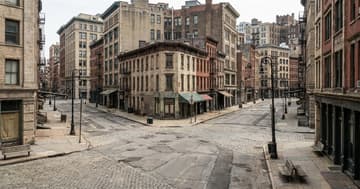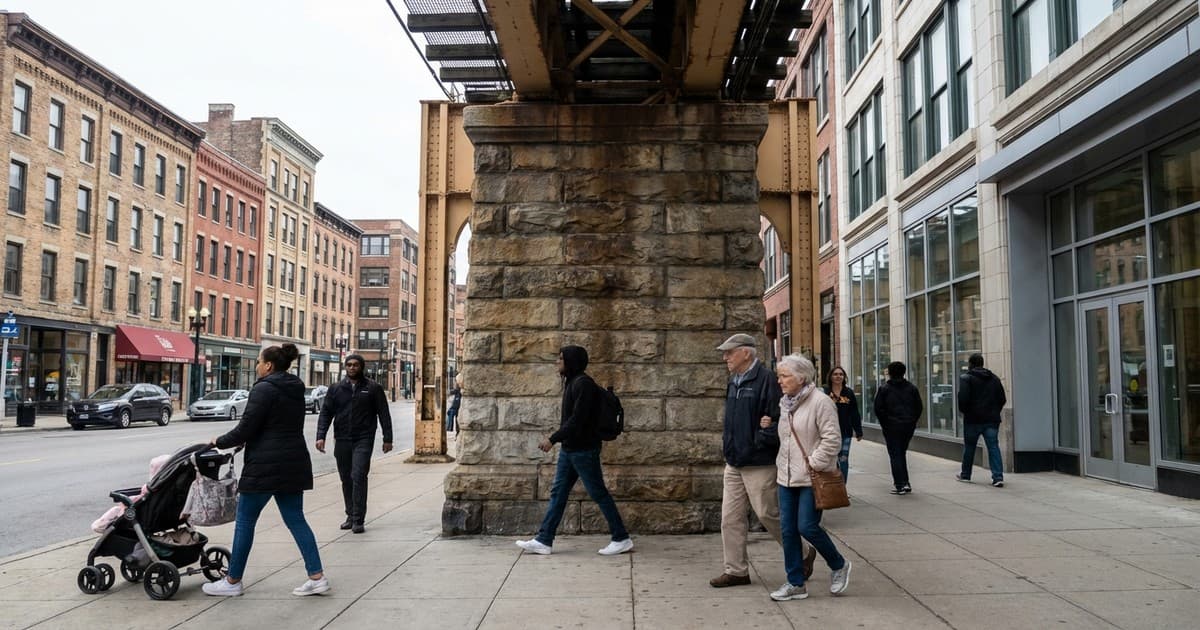
Modern urban environments are rarely the result of current needs alone. They function as living museums of past ideologies. This enduring urban planning legacy means that today’s traffic patterns and housing costs are the direct physical result of maps drawn a century ago. Every commute we take is a journey through historical decisions made by officials who prioritized specific social or economic outcomes over others.
Understanding these invisible structures is essential for solving modern crises. From sidewalk widths to highway placements, our surroundings carry the weight of historical intent. These decisions were rarely neutral, and their consequences have only grown more pronounced as our populations expand. By looking at the blueprints of the past, we can finally understand the frustrations of the present.
The persistent shadow of discriminatory zoning
In many North American and European cities, the most visible scars come from mid-century zoning. "Redlining," a practice that began in the 1930s, explicitly denied services to specific neighborhoods based on race. Today, these areas still face lower property values and fewer green spaces. The lack of tree canopy in these districts makes them significantly hotter than neighboring areas, a phenomenon known as the urban heat island effect.
These historical boundaries did more than just separate people; they dictated where investment would flow for the next century. Even as legal barriers fell, the lack of generational wealth and infrastructure in these zip codes remained. Modern planners now struggle to reverse these deep-seated inequities, finding that a decade of new policy cannot easily overwrite eighty years of systemic disinvestment and architectural isolation.
How the 1950s car obsession dictates your morning
The post-war era ushered in a radical shift toward car-centric design that defines the modern commute. Planners in the 1950s envisioned a future of endless suburbs connected by massive interstate highways. To build these roads, vibrant, walkable neighborhoods were often demolished, slicing through the hearts of cities. This created a dependency on automobiles that remains the primary challenge for transit officials in 2026.
This focus on the private vehicle left many cities without robust public transportation. As we attempt to reduce carbon footprints, the layout of these regions makes high-frequency service difficult. The "last mile" problem—the distance between a transit stop and a home—is a direct inheritance from an era that prioritized the speed of the car over the mobility of the person, leaving modern commuters stuck in historical traffic.
The rigidity of single-family housing laws
Many of the housing shortages currently plaguing global metropolises are rooted in early 20th-century density restrictions. By mandating that land be used exclusively for single-family homes, early planners effectively capped the population capacity of prime urban areas. This legal framework has proven remarkably resistant to change, even as the demand for affordable, multi-family housing has skyrocketed in recent years.
Breaking the cycle of the past
Addressing the flaws in our modern cities requires an honest reckoning with the past. While we cannot move a highway overnight, recognizing these historical patterns allows for smarter interventions. By understanding our urban planning legacy, we can begin to dismantle the barriers that prevent cities from being equitable and functional. The future of the city depends on our ability to outgrow the limitations of its original blueprints.