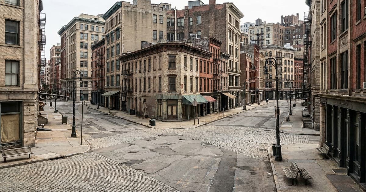
Modern skylines often look like the result of meticulous master planning, but the truth is frequently messier. Many of the world’s most iconic layouts were dictated by sudden crises, administrative errors, or individual whims that the passage of time has buried. Understanding urban planning history requires looking past the polished brochures of contemporary architects to the forgotten choices of the past.
These ten cities prove that what we see today—from the angle of a street to the placement of a park—is often the legacy of a moment long forgotten. Whether born of military strategy or a simple mapping error, these decisions continue to define the movement of millions in 2026.
1. Chicago: The decision to lift the ground
In the mid-19th century, Chicago faced a drainage crisis so severe it threatened the city’s survival. Rather than moving the city, officials made the radical choice to physically raise the street level by several feet. This ad-hoc solution to a swampy problem created the unique historic infrastructure of lower-level streets and hidden alleys that still define the Loop today.
2. New York: The grid that ignored nature
The relentless grid of Manhattan, established in 1811, was not an aesthetic choice but a cost-cutting one. Planners intentionally ignored the island's natural hills and valleys to maximize real estate profits. This forgotten insistence on uniformity forced the leveling of massive rock formations, creating the straight lines that define the world’s most famous urban layout.
3. Paris: Boulevards born of tactical fear
Baron Haussmann’s renovation of Paris is often celebrated for its beauty, but its wide boulevards were largely shaped by the fear of riots. The narrow alleys of the old city were too easy for revolutionaries to barricade. The choice to widen the streets was a military decision to allow for rapid cavalry movement and clear lines of fire, forever changing the face of French city design.
4. Brasília: A gamble on the automotive future
Built from scratch in the 1950s, Brasília was designed to resemble an airplane from above. The planners made a conscious, and now controversial, decision to prioritize cars over pedestrians. This ideological choice of the mid-20th century left the city with a monumental scale that remains difficult to navigate on foot, serving as a permanent monument to the era's obsession with the automobile.
5. Tokyo: The zig-zag defense
The confusing, winding streets of central Tokyo are not accidental. They were designed by the Tokugawa shogunate to intentionally disorient invading forces. While modern skyscrapers now tower above these narrow paths, the ground-level layout remains a tactical relic. This forgotten military strategy created the labyrinthine charm that characterizes Tokyo's most bustling districts today.
6. Washington D.C.: The legacy of a fired architect
Pierre Charles L’Enfant was fired before his plan for the U.S. capital was finished, but his sprawling diagonal avenues were already etched into the landscape. Many congressmen initially hated the grand scale, calling it impractical. However, the decision to keep the oversized streets gave the city its distinctively European feel, proving that even a dismissed vision can leave an indelible mark.
7. London: The rush for normalcy
After the Great Fire of 1666, London had a chance to become a city of wide plazas and organized squares. Visionary plans were rejected because property owners refused to wait, rebuilding on their original medieval plots almost immediately. The city's dense and organic modern layout is the result of this collective refusal to cooperate, solidifying an ancient pattern through sheer impatience.
8. Savannah: Utopian squares as survival tools
James Oglethorpe’s 1733 plan for Savannah was based on repetitive squares intended to foster an egalitarian society. While the utopian ideals of the colony eventually faded, the physical squares remained. They survived centuries of expansion because they were too functional to be paved over, leaving the city with one of the most unique and pedestrian-friendly grids in North America.
9. New Delhi: A dispute over a hill
The visual perspective of India’s administrative heart was decided by a bitter argument between two architects, Lutyens and Baker. They disagreed on the incline of the road leading to the main government buildings. Baker’s preference for a steep incline won, which Lutyens claimed ruined the view of the palace. This minor professional feud dictated the ceremonial aesthetics of an entire nation's capital.
10. San Francisco: The surveyor’s flat map
The famous hills of San Francisco are legendary, but the city's street grid completely ignores them. In the 19th century, surveyors simply drew a standard grid on a flat map from a distance, without accounting for the actual topography. This administrative shortcut resulted in some of the steepest streets in the world, turning a lazy mapping error into the city’s most iconic geographical feature.
Urban landscapes are rarely the product of a single, coherent vision. They are more often the accumulation of small, sometimes accidental choices that have hardened into permanent infrastructure. Whether born of military strategy, economic shortcuts, or personal grudges, these forgotten decisions continue to dictate how millions of people live and move in our modern world.
By recognizing the hidden history of our streets, we can better understand that the cities of the future will be shaped by the seemingly minor choices we make today. Our modern environment is a living museum of the past's overlooked moments, reminding us that every urban plan is a conversation between history and the immediate needs of the moment.